
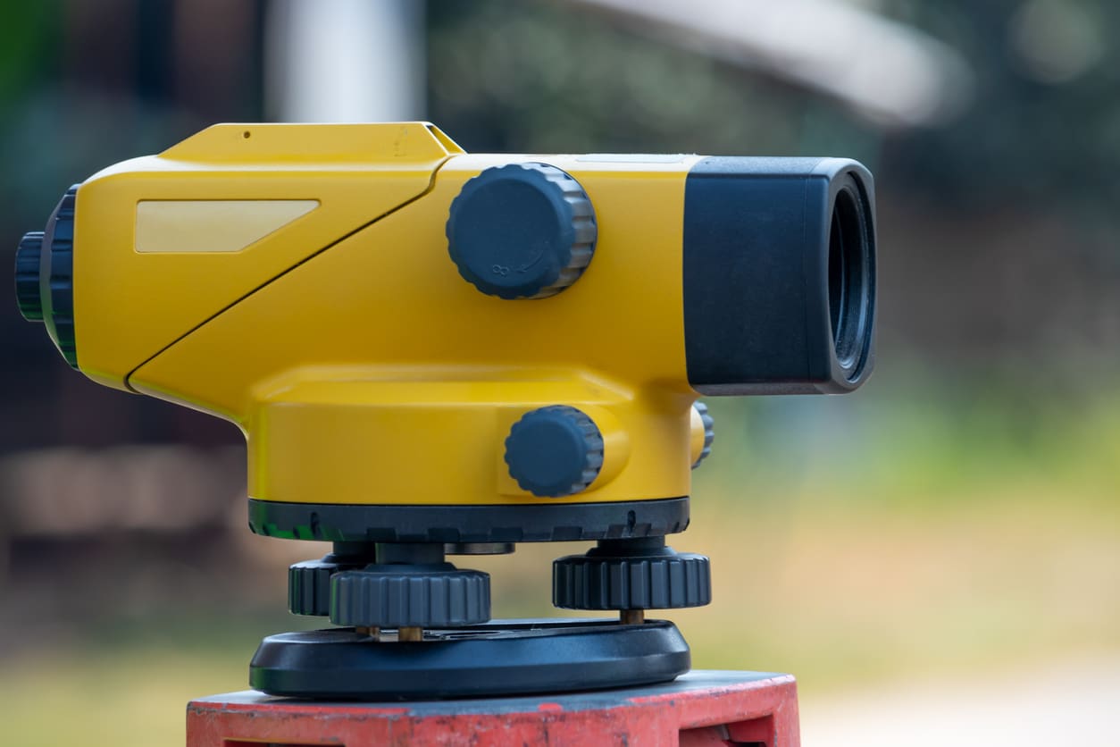
How to Use a Dumpy Level
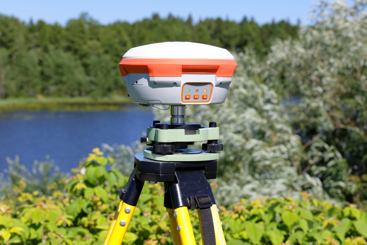
Using a dumpy level is much like using any other RTK GPS surveying equipment. Although there is often less technical information provided with this device.

Using a dumpy level is much like using any other RTK GPS surveying equipment. Although there is often less technical information provided with this device.
When it comes to surveying equipment, there is a fair amount of terminology to wade through. From acronyms like Real-time Kinematic Global Positioning System (RTK
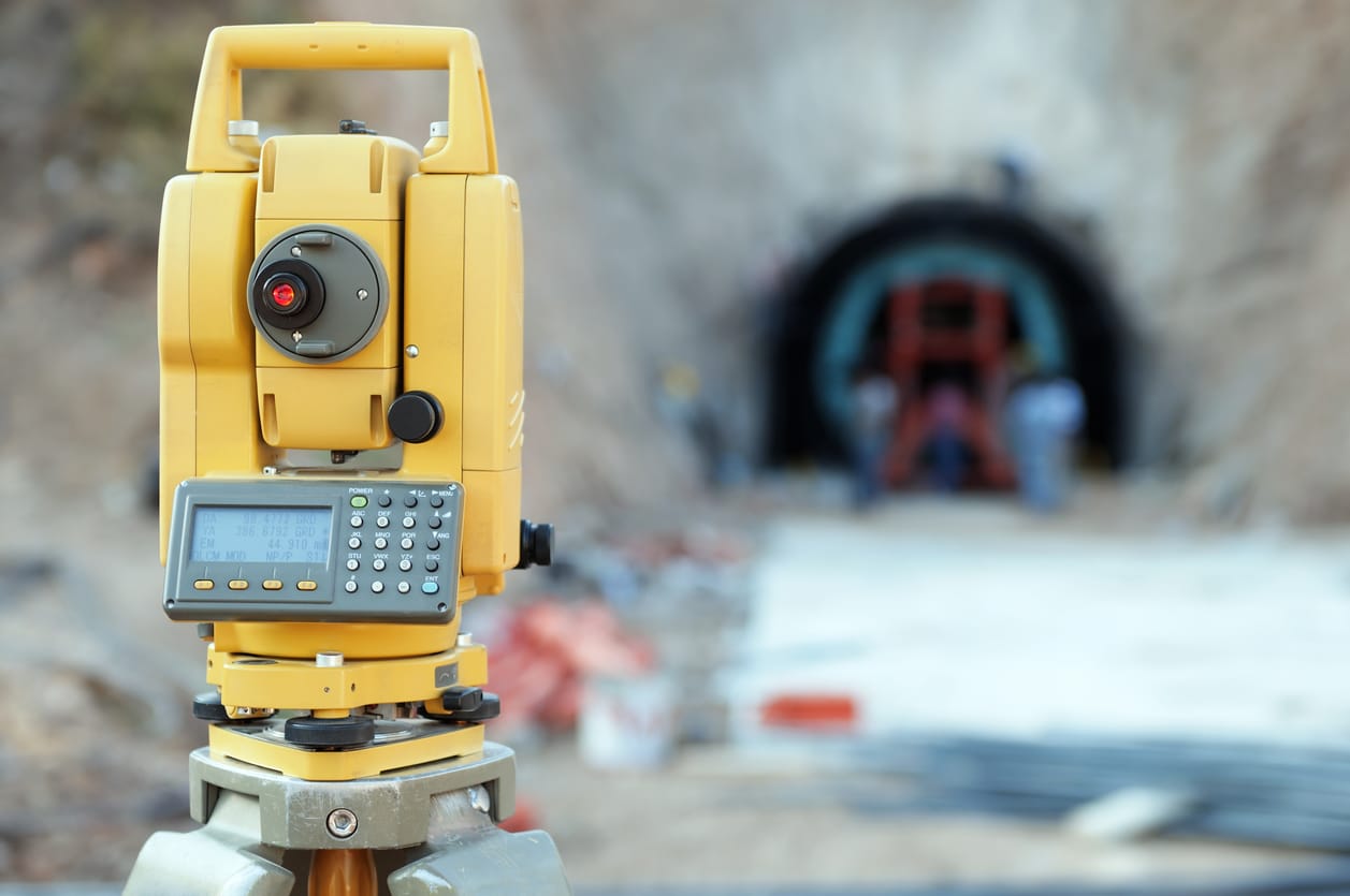
Using a total station or any other piece of surveying equipment is easy when you know the right steps. But an understanding of the names

One of the chief reasons for our interconnected world is the space race. Of course, this is seen by many as a divisive power struggle
The wide world of RTK GPS includes many interesting and diverse applications. To learn about this interesting technology, how it works with GIS and how
Although it seems so obvious in today’s world, RTK GPS and other navigation systems are relatively new in their usefulness. Of course, it was only
Within the world of surveying equipment, there are many different systems at work. Naturally, for a process complex enough to send precision equipment into space,

With the continuous cementing of our interconnected world, the availability of building materials and efficient labour makes every construction project viable and desirable. As a
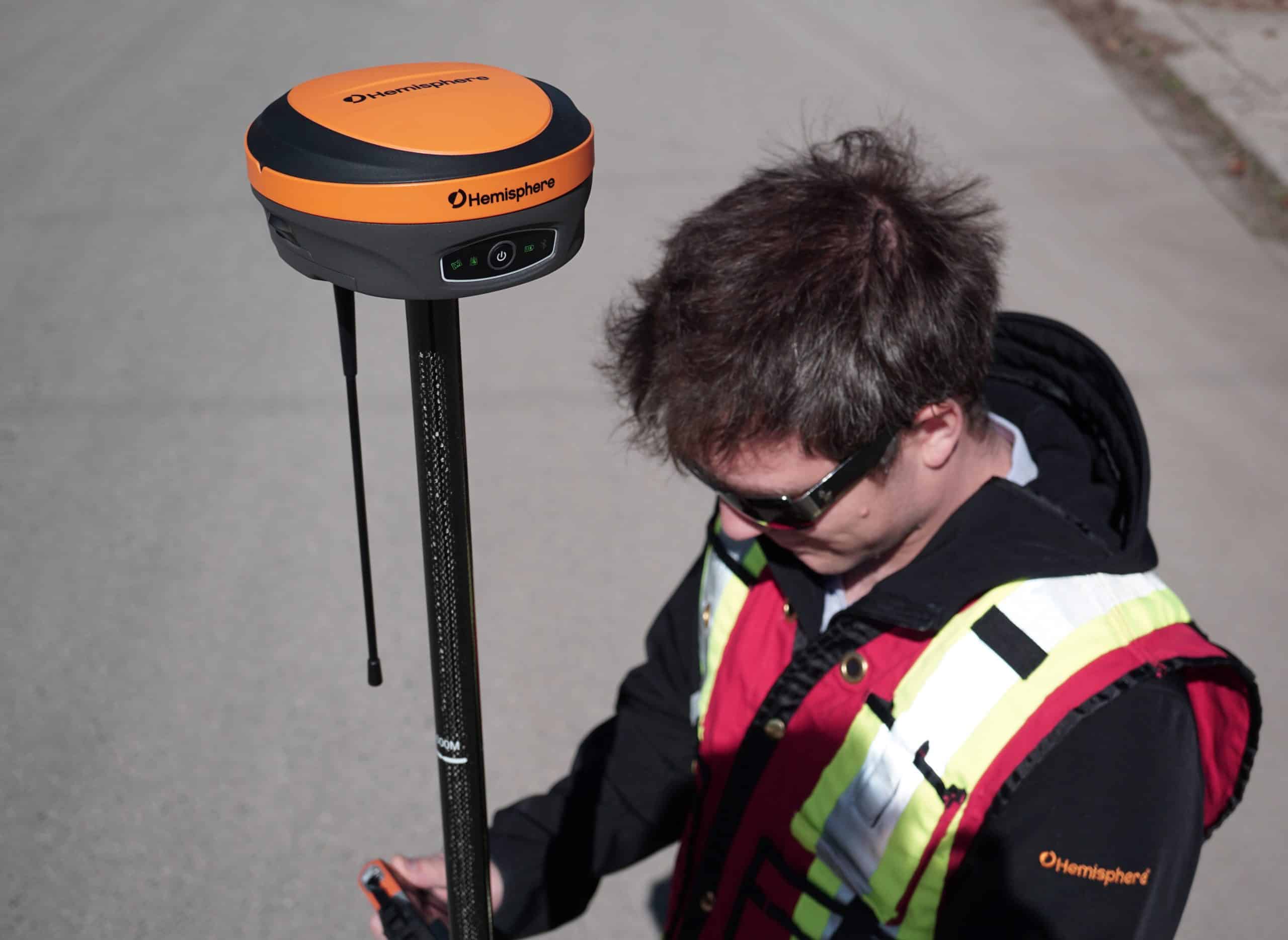
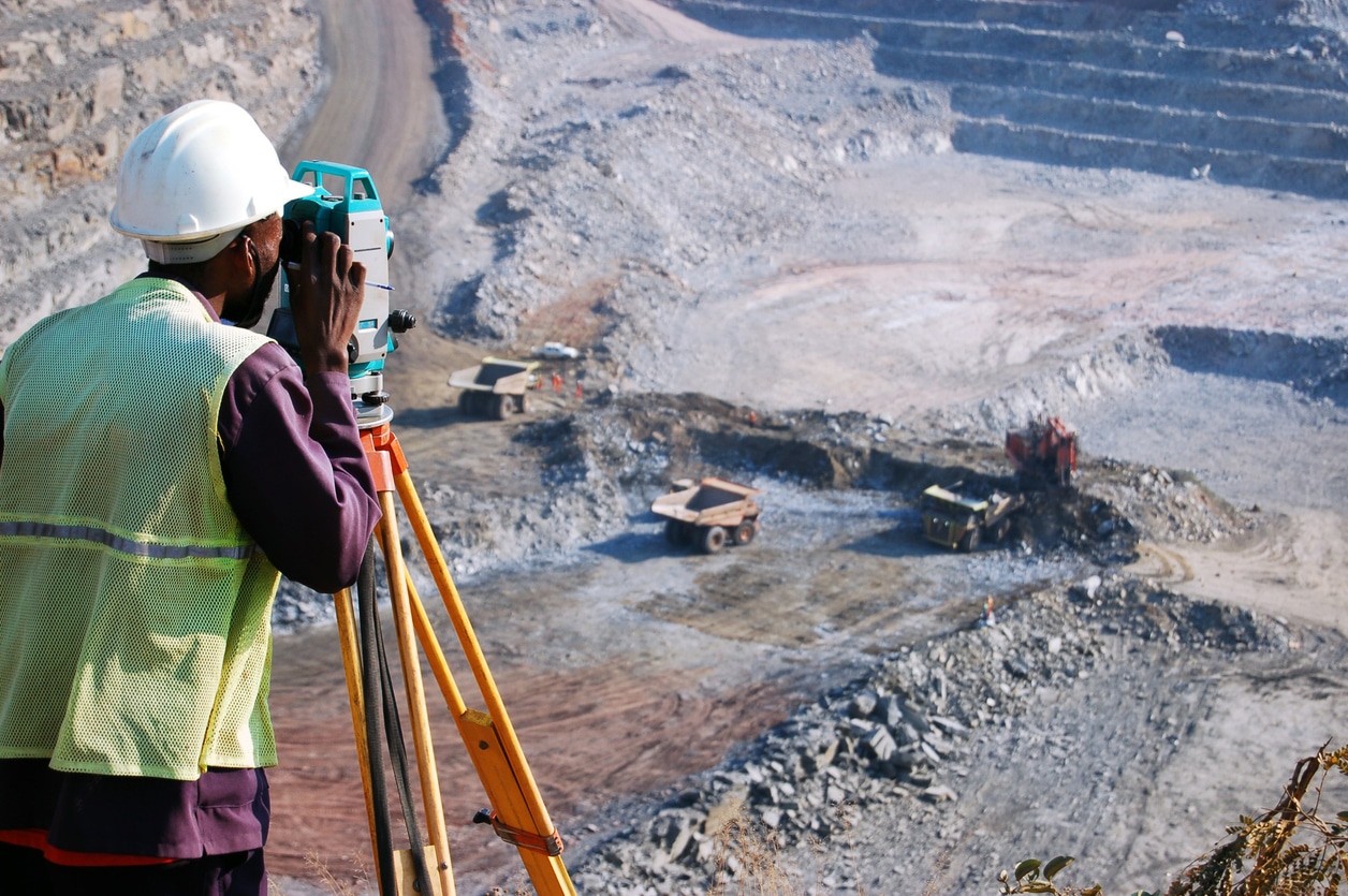
RTK GPS systems are considered some of the most indispensable pieces of land surveying equipment available to surveyors and engineers. Both disciplines rely heavily on